In August of 2020, I put out a blog post with some trail maps from Monarch’s earlier days. In that blog, I promised to post a couple more at some point. It may be two years later, but here are a few more classics to enjoy.
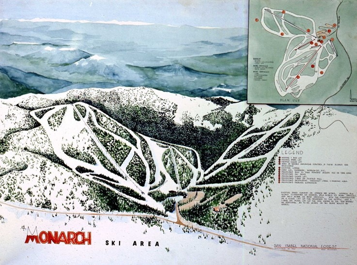
The first is a map from our 1966 Master Development Plan. It includes some original items with a few having already moved into the past. The Gunbarrel rope tow is gone, but there is a proposal for a new T-Bar or Platter Pull up Gunbarrel. The old Poma lift to Snowflake is on the map along with the T-Bar that ran between the current Tumbelina Lift Line and Little Jo. The Original Garfield lift is on the map and the Breezeway Lift and trail network is just being proposed. Pano is still a pure backcountry experience at this point. Other highlights presented in this conceptual map included more parking (always;), more F&B options and an overnight lodge!
The second map is a simple one placed in an advertisement. A few lifts and some trails at the “Powder Capitol of Colorado”. What else do you need?
Finally, a shot of our map in the 1970’s that formally included the Breezeway terrain (lift installed in 1968). The map was hand drawn by the late, great Bill C. Brown. The image of this map was taken from the book, “Around Monarch Pass” written by Duane Vandenbusche and published by Arcadia Publishing. Pick up your copy and map the past!

1966 MDP Map
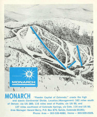
1967 Map
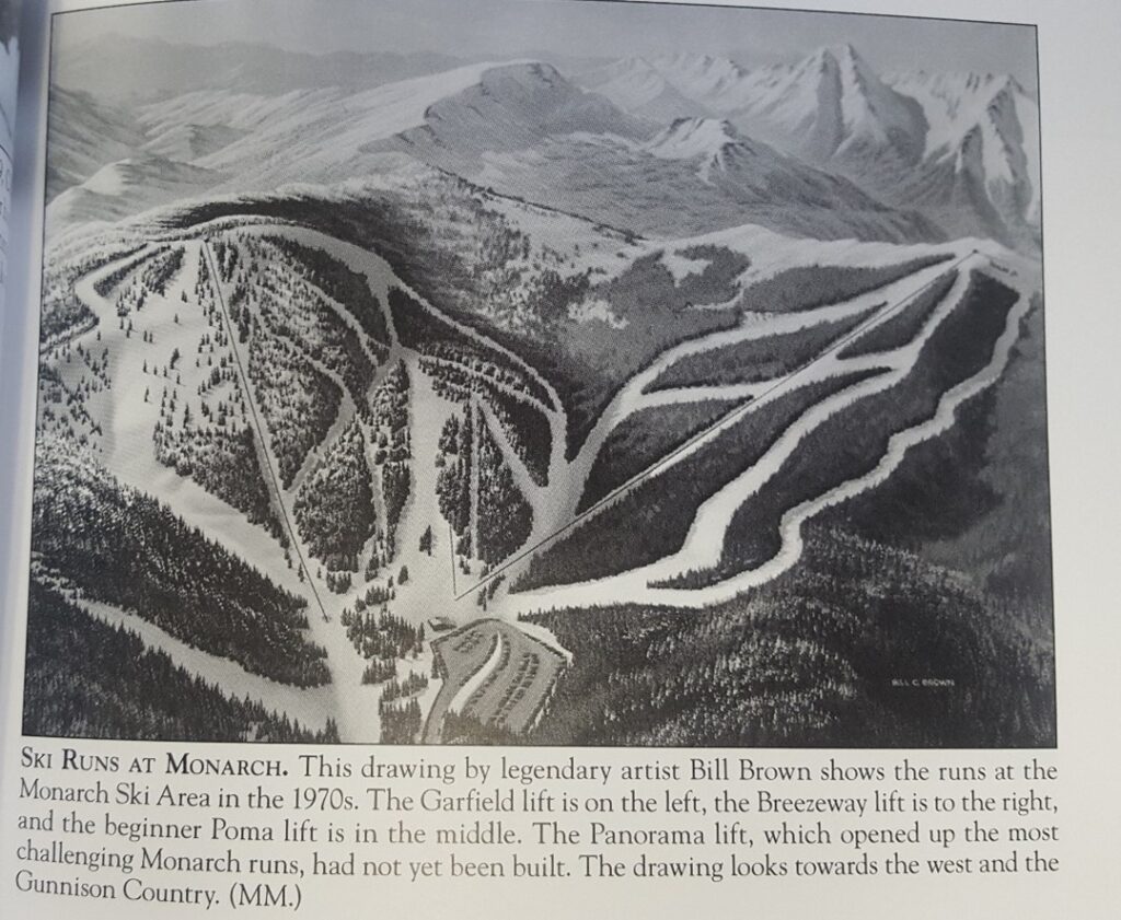
1970’s Monarch Trail Map. Courtesy of Duane Vandenbusche.