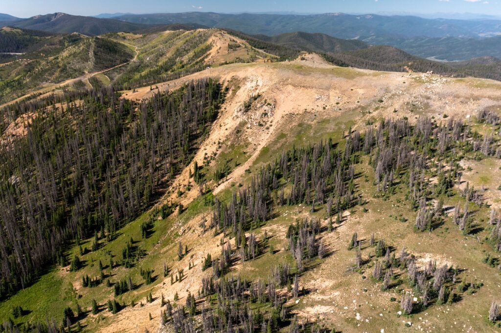
Summer Flight We recently conducted some aerial mapping of our terrain in the cat skiing permitted area. Here is a great photo showing Mirkwood along with the top of Garfield and Pano Ridge in the background. July 25, 2022 Scott's Blog Scott Pressly